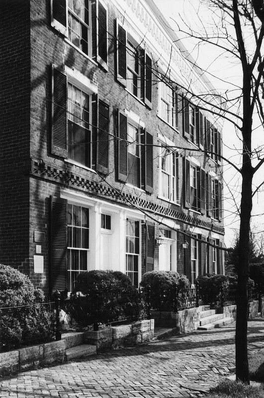
Follow the Red Brick Road
"The Board of Trustees of the town of Abingdon...in June of 1833 enacted an ordinance approving the MacAdamizing of Main Street and requiring sidewalks to be paved with brick and curbstones." [Garland, p. 9]
Those brick sidewalks are still a feature of Downtown Abingdon, a little the worse for wear but (as I can attest) still maintained by the town. This was my route to work everyday at the Library, and occasionally I would pass workers on their knees diligently restoring the brickwork.
As the walking tour continues eastward along Main St. we will be following a number of different guides: Lewis Thomson Cosby, writing in 1910 and describing Abingdon "as it was just prior to the War Between the States," [Cosby, p.5]; Nanci King whose "Places in Time" volumes expand the scope of Cosby's "Remembrances", embellishing her work with photographs; and a somewhat obscure historical entity called the Old Abingdon Association, whose iconic signage adorns a number of Abingdon's most significant landmarks.
Abingdon is part of the "Ridge and Valley" or Great Valley of Virginia. At 2000+ feet above sea level its upper elevations offer a direct view of the Blue Ridge Mountains to the east (see George Wertz's "Birds Eye View of Abingdon" at the Library of Congress website). As a result the town is rolling rather than hilly and the gently undulating terrain makes for a pleasant but not too arduous walk through the downtown Historic District. This is especially true of the portion of our walking tour that takes us down from the corner of Main and Church St., just past the Barter Green, to Pecan St. and then back up to Courthouse Hill. There is only one Historic Marker along the way, at the corner of Main and Pecan, but this stretch features a large concentration of historic homes and sites.
